भारत के सबसे छोटे गाँव, जहाँ 50 से कम लोग रहते हैं
Census 2011 में 16,658 गाँवों की village population 50 से कम है, कुछ में सिर्फ़ एक व्यक्ति दर्ज है। जानिए ऐसा क्यों होता है।
- 07 Oct 26
8 min
Every state and union territory the Census of India 2011 counted, with its population, sex ratio, literacy and area. Open one to reach its districts, then its tehsils, then any of the 590,364 villages recorded inside it.
As per the data provided by Census of India 2011, total population of India was 1,210,854,977. Male and Female population of India was 623,270,258 and 587,584,719 respectively which further can be divided as 377,106,125 urban population and 833,748,852 rural population. Total no of literates in India counted are 763,638,812 including 434,763,622 males and 328,875,190 females.
Sex ratio of India's population works out to 943 females for every 1000 males, calculated from the state figures listed below. The child sex ratio published by the Census for 2011, covering children aged 0 to 6, was 914 girls per 1000 boys. That one is quoted from the Census release rather than derived here, because age wise counts are not stored on this site. Religions recorded include Hinduism, Islam, Christianity, Sikhism, Buddhism and Jainism.
The list below covers all 36 entries. Opening one gives that state's own figures and the districts under it.
The data is arranged the same way the census itself is organised. Pick a state below and you get its districts. Open a district and you get the tehsils inside it, which some states call a taluka, mandal or block. Open a tehsil and you reach the full list of its villages.
A village page carries its total population with the male and female split, the sex ratio worked out from those counts, the area of the village and its pincode. Literacy and child sex ratio are published at tehsil level and above, so you will find them on the tehsil, district and state pages. If you already know the village name, the search box at the top of the page is quicker than working down the list.
These are the states and union territories as they stood when the 2011 census was taken, so the list will not match a present day map. Three things have changed since. Jammu and Kashmir was reorganised in 2019 into two union territories, Jammu and Kashmir and Ladakh, so Ladakh has no separate 2011 record. Dadra and Nagar Haveli and Daman and Diu were merged into a single union territory in 2020, but the census counted them separately. Telangana, formed in 2014, does appear here because its figures were derived from the districts that went on to form it.
We have kept the 2011 boundaries rather than redrawing them, because changing the groupings would mean changing the published population counts, and those counts are the reason this data is useful in the first place.
Population
380,581
Males
202,871
Females
177,710
Sex Ratio
876
Child Sex Ratio
968
Area:
8,249 Km2
Population
84,580,777
Males
42,442,146
Females
42,138,631
Sex Ratio
993
Child Sex Ratio
939
Area:
275,045 Km2
Population
1,383,727
Males
713,912
Females
669,815
Sex Ratio
938
Child Sex Ratio
972
Area:
83,743 Km2
Population
31,205,576
Males
15,939,443
Females
15,266,133
Sex Ratio
958
Child Sex Ratio
962
Area:
78,438 Km2
Population
104,099,452
Males
54,278,157
Females
49,821,295
Sex Ratio
918
Child Sex Ratio
935
Area:
94,163 Km2
Population
1,055,450
Males
580,663
Females
474,787
Sex Ratio
818
Child Sex Ratio
880
Area:
114 Km2
Population
25,545,198
Males
12,832,895
Females
12,712,303
Sex Ratio
991
Child Sex Ratio
969
Area:
135,192 Km2
Population
343,709
Males
193,760
Females
149,949
Sex Ratio
774
Child Sex Ratio
926
Area:
491 Km2
Population
243,247
Males
150,301
Females
92,946
Sex Ratio
618
Child Sex Ratio
904
Area:
111 Km2
Population
16,787,941
Males
8,987,326
Females
7,800,615
Sex Ratio
868
Child Sex Ratio
871
Area:
1,483 Km2
Population
1,458,545
Males
739,140
Females
719,405
Sex Ratio
973
Child Sex Ratio
942
Area:
3,702 Km2
Population
60,439,692
Males
31,491,260
Females
28,948,432
Sex Ratio
919
Child Sex Ratio
890
Area:
196,244 Km2

Population
25,351,462
Males
13,494,734
Females
11,856,728
Sex Ratio
879
Child Sex Ratio
834
Area:
44,212 Km2
Population
6,864,602
Males
3,481,873
Females
3,382,729
Sex Ratio
972
Child Sex Ratio
909
Area:
55,673 Km2
Population
12,541,302
Males
6,640,662
Females
5,900,640
Sex Ratio
889
Child Sex Ratio
862
Area:
222,236 Km2
Population
32,988,134
Males
16,930,315
Females
16,057,819
Sex Ratio
948
Child Sex Ratio
948
Area:
79,716 Km2
Population
61,095,297
Males
30,966,657
Females
30,128,640
Sex Ratio
973
Child Sex Ratio
948
Area:
191,791 Km2
Population
33,406,061
Males
16,027,412
Females
17,378,649
Sex Ratio
1,084
Child Sex Ratio
964
Area:
38,852 Km2
Population
64,473
Males
33,123
Females
31,350
Sex Ratio
946
Child Sex Ratio
911
Area:
30 Km2

Population
72,626,809
Males
37,612,306
Females
35,014,503
Sex Ratio
931
Child Sex Ratio
918
Area:
308,252 Km2
Population
112,374,333
Males
58,243,056
Females
54,131,277
Sex Ratio
929
Child Sex Ratio
894
Area:
307,713 Km2
Population
2,855,794
Males
1,438,586
Females
1,417,208
Sex Ratio
985
Child Sex Ratio
930
Area:
22,327 Km2
Population
2,966,889
Males
1,491,832
Females
1,475,057
Sex Ratio
989
Child Sex Ratio
970
Area:
22,429 Km2
Population
1,097,206
Males
555,339
Females
541,867
Sex Ratio
976
Child Sex Ratio
970
Area:
21,081 Km2
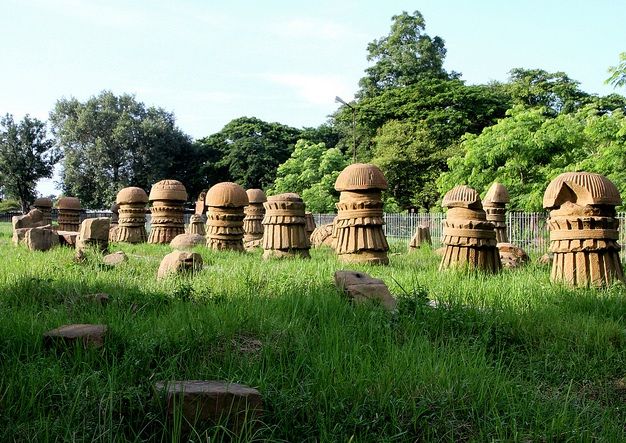
Population
1,978,502
Males
1,024,649
Females
953,853
Sex Ratio
931
Child Sex Ratio
943
Area:
16,579 Km2
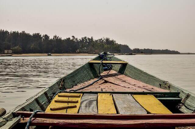
Population
41,974,218
Males
21,212,136
Females
20,762,082
Sex Ratio
979
Child Sex Ratio
941
Area:
155,707 Km2
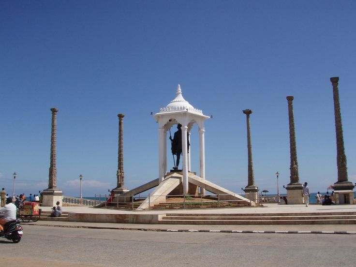
Population
1,247,953
Males
612,511
Females
635,442
Sex Ratio
1,037
Child Sex Ratio
967
Area:
490 Km2
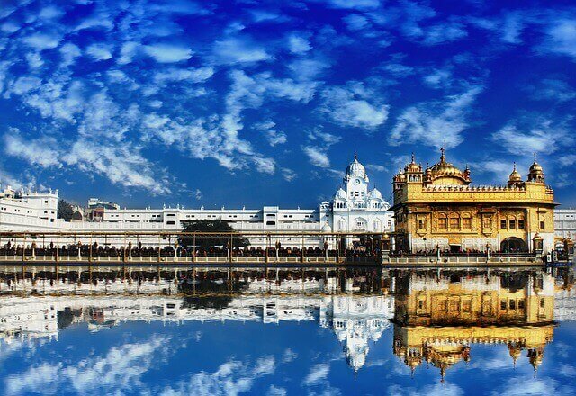
Population
27,743,338
Males
14,639,465
Females
13,103,873
Sex Ratio
895
Child Sex Ratio
846
Area:
50,362 Km2
Population
68,548,437
Males
35,550,997
Females
32,997,440
Sex Ratio
928
Child Sex Ratio
888
Area:
342,239 Km2
Population
610,577
Males
323,070
Females
287,507
Sex Ratio
890
Child Sex Ratio
957
Area:
7,096 Km2

Population
72,147,030
Males
36,137,975
Females
36,009,055
Sex Ratio
996
Child Sex Ratio
943
Area:
130,060 Km2
Population
35,193,978
Males
17,704,078
Females
17,489,900
Sex Ratio
988
Child Sex Ratio
932
Area:
112,077 Km2
Population
3,673,917
Males
1,874,376
Females
1,799,541
Sex Ratio
960
Child Sex Ratio
957
Area:
10,486 Km2
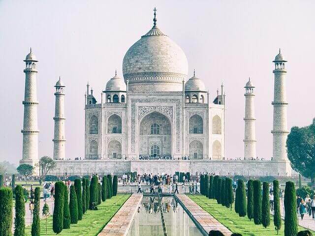
Population
199,812,341
Males
104,480,510
Females
95,331,831
Sex Ratio
912
Child Sex Ratio
902
Area:
240,928 Km2
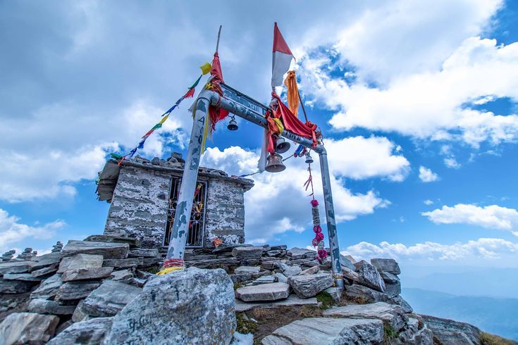
Population
10,086,292
Males
5,137,773
Females
4,948,519
Sex Ratio
963
Child Sex Ratio
890
Area:
53,483 Km2
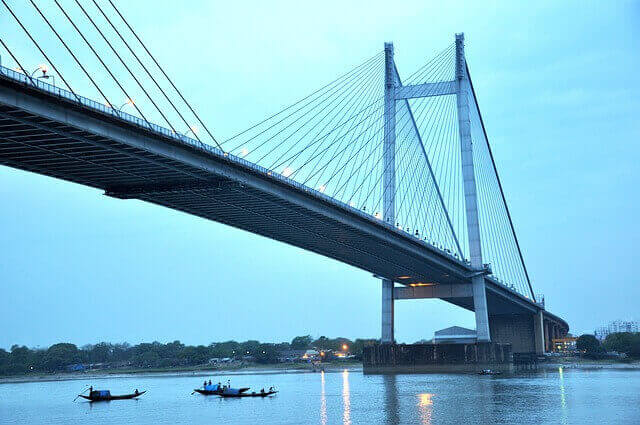
Population
91,276,115
Males
46,809,027
Females
44,467,088
Sex Ratio
950
Child Sex Ratio
956
Area:
88,752 Km2
Aadhaar, PAN, ration card, NREGA job cards, land records and the main central schemes, each linked to its official portal.
Open सरकारी कामCheck the job card list for your gram panchayat, see the work days credited and follow up on a pending wage payment.
Check job card listFood, festivals, traditions and everyday life across Indian villages, written state by state.
Read the blogA starting point into the district level. Open a district to see the tehsils inside it, and a tehsil to reach its villages.
Population, literacy, sex ratio and area, side by side, for the twelve most populous states and union territories.
India today has 28 states and 8 union territories. The list on this page has 36 entries because it follows the 2011 census, when Jammu and Kashmir was a single state, Ladakh did not exist separately, and Dadra and Nagar Haveli and Daman and Diu were two territories.
Ladakh was created in 2019 from districts of Jammu and Kashmir, eight years after the census. Its 2011 figures sit inside the Jammu and Kashmir record, in the Leh and Kargil districts.
Telangana was carved out of Andhra Pradesh in 2014, but it is made up of districts that were counted individually in 2011. Its figures were rebuilt by adding up those districts, which is why it can be shown separately while Ladakh cannot.
A state has its own elected government with wide powers of its own. A union territory is administered by the central government, though a few of them, such as Delhi and Puducherry, do have their own legislature with limited powers.
A tehsil is the administrative unit between a district and a village. Different states use different names for it, including taluka, mandal, block and circle, but the level in the hierarchy is the same.
Uttar Pradesh, with just under 200 million people, which made it the most populous state in the country and larger than most nations. Maharashtra and Bihar followed it.
Uttar Pradesh, which had 71 districts at the time of the 2011 census. Several states have created new districts since then by splitting existing ones, so present day counts are higher.
Sex ratio is the number of females for every 1000 males. A figure below 1000 means there are fewer women than men in that population. Child sex ratio uses the same measure but counts only children aged 0 to 6.
The census treats a place as urban if it has a municipality or similar local body, or if it meets thresholds for population, density and the share of male workers outside agriculture. Everything else is counted as rural.
Not at village level. The census due in 2021 was postponed, so 2011 remains the most recent complete count published for every village in the country.
Yes. The underlying numbers are published by the Census of India and are public. We would suggest citing the Census of India 2011 as the source rather than this site, and checking any figure that matters against the official release.
Explore the beauty of india and villages of india with our blog.
Census 2011 में 16,658 गाँवों की village population 50 से कम है, कुछ में सिर्फ़ एक व्यक्ति दर्ज है। जानिए ऐसा क्यों होता है।
8 min
Census 2011 के रिकॉर्ड से: सबसे ज़्यादा गाँवों वाले district और tehsil कौन से हैं, और एक ज़िले में हज़ारों गाँव क्यों बनते हैं।
9 min
Census 2011 के अनुसार भारत के सबसे बड़े गाँव कौन से हैं, village population कितनी है, और शहर जैसी बस्ती गाँव क्यों गिनी जाती है।
9 min
Census 2011 के 5,89,883 गाँवों के रिकॉर्ड से: कितने गाँवों तक bus पहुँचती है, railway station कितनी दूर है, राज्यों में कितना फ़र्क़।
9 min
सरकारी फ़ॉर्म में गाँव, पंचायत, tehsil, block और pin code सही कैसे भरें, और ग़लत भरने पर आवेदन कहाँ अटकता है।
9 min
J&K land records पर jamabandi और girdawari देखने का तरीक़ा, खेवट और खतौनी का फ़र्क़, और फर्द निकलवाने की जानकारी।
9 min