

वोटर लिस्ट में नाम और पता कैसे सुधारें
Voter ID में नाम, पता या जन्मतिथि सुधारने के लिए Form 8 कैसे भरें, गाँव बदलने पर क्या करें, और नाम कट जाए तो कैसे जुड़वाएँ।
- 11 Oct 26
4 min
Census of India 2011 figures for every village, tehsil, district and state in the country: population, literacy, sex ratio, area and pincode, village by village. Alongside them, plain guides to the government services rural households actually use, in Hindi.
Browse all states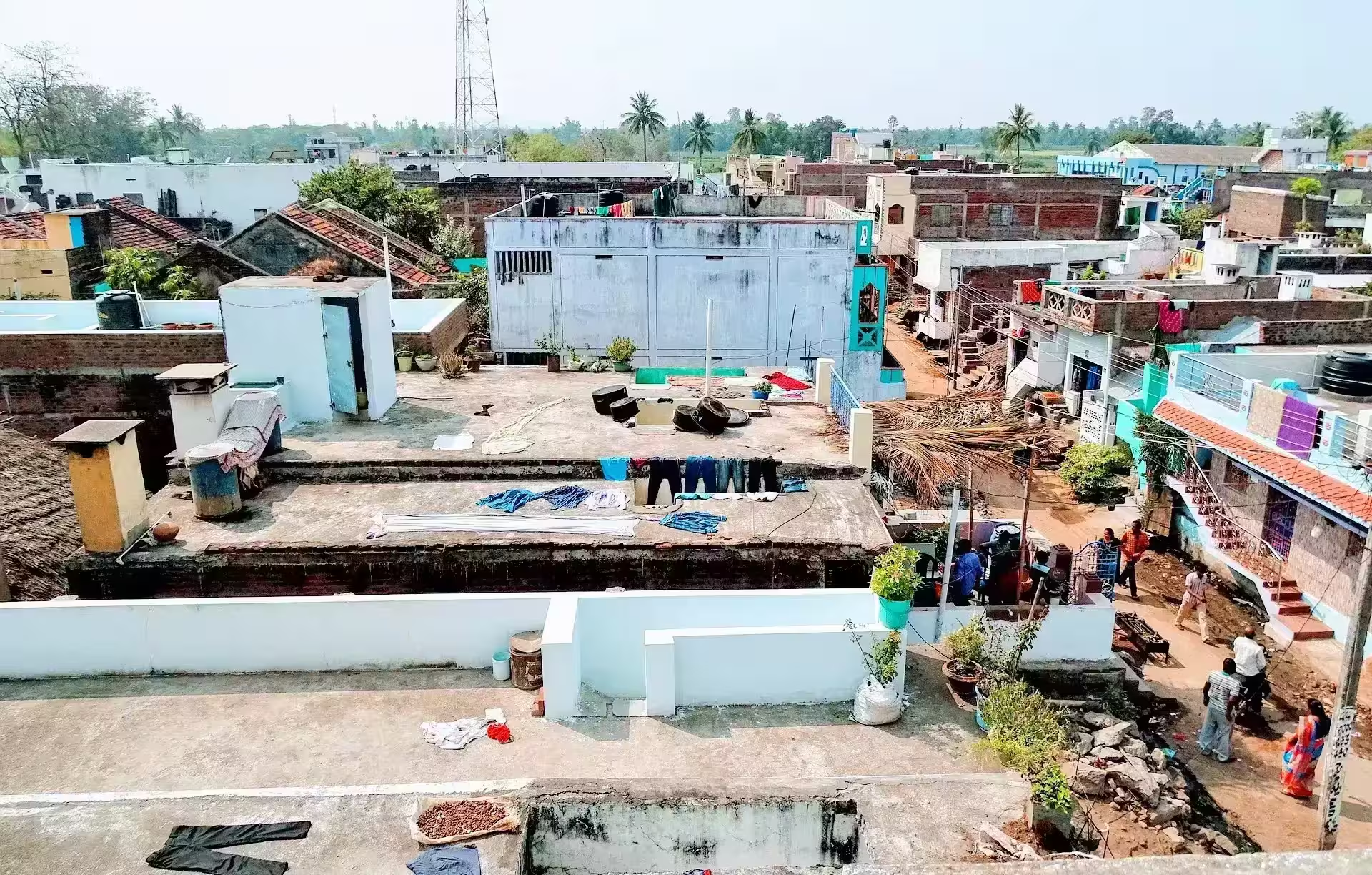
590,364 villages across 5,676 tehsils and 656 districts, each with its population, literacy, sex ratio, area and pincode as the census recorded them.
Job card lists, land records, Aadhaar, ration card, PM-Kisan and the rest, written plainly in Hindi, with the official portal for every state and the papers each one asks for.
One pincode usually covers a cluster of neighbouring villages. Open a code to see every village recorded under it, or look a village up by name.
The Census of India 2011 counted 590,364 villages, and every one of them has a page here. The count is not a round number and it is not current: it is what the last completed census recorded. भारत में कितने गाँव हैं goes through the figure state by state.
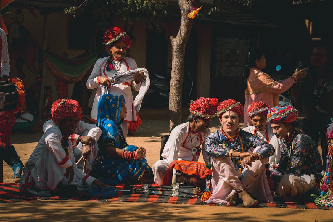
A village page carries its total population and the split between men and women, the sex ratio those two produce, the area in hectares, the pincode, and what the census noted about getting there: whether a bus reaches the village itself or stops some kilometres away, and how far the nearest railway station is. Where we have been able to place a village on the map, the page also gives the distance to its tehsil and district headquarters, the nearest town and the nearest station. Nothing here is an estimate. Every figure is the one recorded in 2011, left as it was collected.
The census due in 2021 was postponed, so 2011 remains the most recent complete count published for every village in the country. That is fourteen years of growth these numbers do not show, and it matters most for the villages that have since been absorbed into a town. Later surveys cover states or districts, not individual villages, which is why nothing newer can replace this at village level. The next census has been announced, and we will publish against it when the village tables are released.
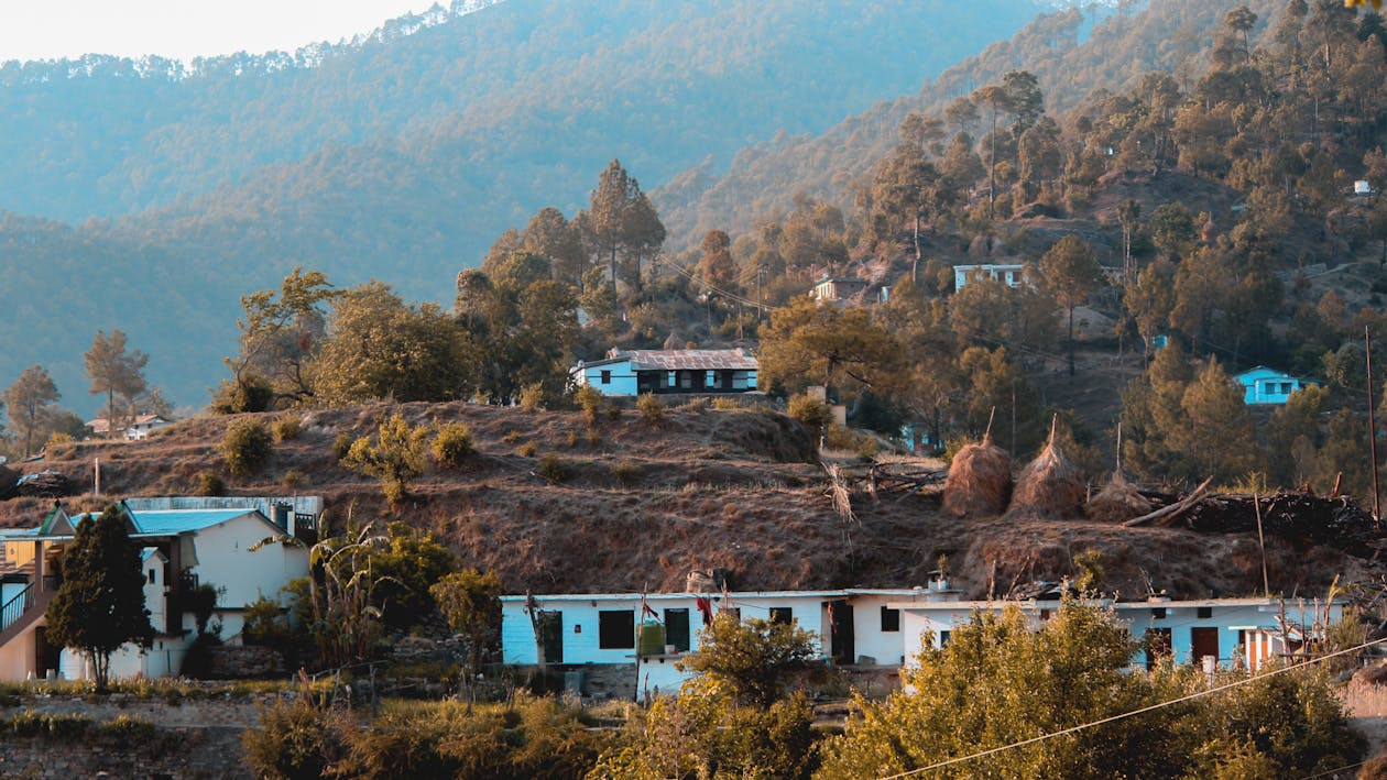

If you know where it sits, walk down from the state to the district, then the tehsil, then the village. If you only know the name, the search box takes it, and it copes with a name spelled more than one way. If you have a letter or a parcel in front of you, the pincode is often the quickest route, because a code lists every village the same post office serves. Village names repeat across the country, so the district and tehsil beside a result are usually what tells two of them apart.
Students settling a figure for an assignment, officials checking which villages fall under a block, people filling a form that wants a village code or a pincode, and families looking up the place they came from. The census tables answer the first three. The Hindi guides answer the question that usually follows, which is where to do the thing and what papers it needs.
All 36 states and union territories as the 2011 census listed them. Pick the one the village sits in.
For the chosen state, choose one of the listed districts.
For the chosen state and district, choose one of the listed Tehsils.
For the chosen state, district and tehsil, choose one of the listed Village.
Every figure on this site comes from the Census of India 2011, the last completed census, broken down to the level of a single village.
Start with a state, narrow down to a district and tehsil, and you reach the village page with its population, sex ratio, literacy rate, area and pincode. Every level in between has its own summary, so you can stop wherever the detail you need sits.
Explore the beauty of india and villages of india with our blog.
Voter ID में नाम, पता या जन्मतिथि सुधारने के लिए Form 8 कैसे भरें, गाँव बदलने पर क्या करें, और नाम कट जाए तो कैसे जुड़वाएँ।
4 min
e-Shram card किसका बनता है, घर बैठे registration कैसे करें, UAN नंबर क्या है, कार्ड download कैसे करें, और ब्यौरा कैसे सुधारें।
4 min
PM Awas Yojana Gramin list में अपने गाँव का नाम कैसे देखें, पात्रता किस सूची से तय होती है, किस्तें कब आती हैं, और नाम न हो तो क्या करें।
4 min
PM Kisan status मोबाइल पर कैसे देखें, किस्त रुकने की पाँच आम वजहें, eKYC और land seeding क्या है, और सुधार कहाँ कराएँ।
4 min
Aadhaar seeding और DBT क्या है, खाता लिंक है या नहीं कैसे देखें, दो खाते जुड़े हों तो पैसा किसमें आता है, और लिंक कैसे बदलें।
5 min
Aadhaar address update घर बैठे कैसे करें, कौन से दस्तावेज़ चलते हैं, गाँव का पता कैसे लिखें, और आवेदन reject हो तो आगे क्या करें।
5 min
A sample of districts from the states with the widest coverage. Open a district to see its tehsils, and a tehsil to reach the villages inside it.
All population, literacy and household figures come from the Census of India 2011. That is the most recent completed census, so it remains the reference used by government departments and researchers.
Use the search box in the header, or move down the hierarchy: pick your state, then your district, then your tehsil, and the village list for that tehsil will open. Village names are often spelt differently in records, so try a shorter part of the name if the full spelling fails.
Total population with the male and female split, the sex ratio worked out from those counts, the area of the village and its pincode, plus what the census recorded about bus service and the nearest railway station. Literacy and child sex ratio are held at tehsil, district and state level rather than per village.
Two things usually explain it. The census may record the name with a different spelling or an alternate local name, so search a shorter fragment. Or the settlement may be counted as part of a larger revenue village rather than listed on its own.
They are the same level of administration, sitting between a district and a village. The name simply changes by state. You will see tehsil in the north, taluka in the west, mandal in Andhra Pradesh and Telangana, and block or circle elsewhere.
The figures are a snapshot from 2011 and have not been revised since, because no later census has been completed. Actual population today will usually be higher, particularly near towns and cities.
It is the number of females for every 1000 males in a place. A value below 1000 means women are outnumbered. Child sex ratio uses the same formula but counts only children aged 0 to 6, which is why the two numbers differ.
The focus is rural India, so the detailed pages are for villages. District and state pages do include the urban and rural split, so you can see how much of a district lives in towns without opening a city page.
Yes. The figures are published by the Census of India and are public. Cite the Census of India 2011 as the source rather than this site, and verify any number that matters against the official release.
No. Our government pages explain what each scheme covers and link to the official portal, but every application is made on the government site itself. We never collect your Aadhaar number, OTP or bank details.
No. This is an independent site that presents published census data in a form that is easier to browse. Links to government services point to the official portals, and we do not process any application ourselves.