Maharashtra Famous Food & Mumbai Street Food Guide 2025
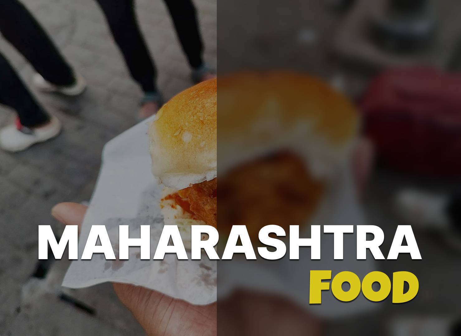
Vada pav, pav bhaji, misal pav and puran poli, the grains a Maharashtrian meal is built on, and the street food of Mumbai.
- 09 Sep 25
7 min
Yetakota Ch No 1 is a village in Sironcha tehsil, in the district of Gadchiroli, Maharashtra. The village covers 53.62 hectares hectares.
| Description | Value |
|---|---|
| State | Maharashtra |
| District | Gadchiroli |
| Tehsil | Sironcha |
| Area (hectares) | 53.62 hectares |
Yetakota Ch No 1 lies about 141 km from Gadchiroli, and the nearest railway station is Mandamari, about 53 km away. The figures below are straight-line distances from the village to each place. A road journey is longer, usually by a quarter to a half again.
| Tehsil headquarters | Sironcha | 7.3 km |
|---|---|---|
| Nearest town | Chinnūr | 19 km |
| Nearest railway station | Mandamari | 53 km |
| District headquarters | Gadchiroli | 141 km |
These are the nearest recorded villages by distance rather than by name, all of them in Sironcha tehsil.
Source: Census of India 2011, the most recent completed census. Figures have not been revised since collection. Read more on our about the data page.
Yetakota Ch No 1 covers 53.62 hectares as recorded in the census.
Yetakota Ch No 1 falls under Sironcha tehsil of Gadchiroli district in Maharashtra.
The nearest railway station to Yetakota Ch No 1 is Mandamari, about 53 km away in a straight line.
Yetakota Ch No 1 is about 141 km from Gadchiroli in a straight line. Road distance is longer, usually by a quarter to a half again, depending on the route.
Yetakota Ch No 1 is in Sironcha tehsil of Gadchiroli district. Sironcha is about 7.3 km away. Chinnūr is about 19 km away. Mandamari is about 53 km away. Straight-line distances are a guide to how far out the village sits, not a driving figure.
The closest recorded villages are Kotapalli Ry (under 2 km), Yetakota Ch No 2 (under 2 km) and Pochampalli Ry (under 2 km).
No. It is the count from the Census of India 2011, the most recent completed census. The population of Yetakota Ch No 1 today is likely to be higher.
Explore the beauty of india and villages of india with our blog.
Vada pav, pav bhaji, misal pav and puran poli, the grains a Maharashtrian meal is built on, and the street food of Mumbai.
7 min
रजिस्ट्री के बाद नाम दाखिल ख़ारिज (mutation) से ही चढ़ता है। यह क्या है, आवेदन कहाँ होता है, कितना समय लगता है, अटके तो क्या करें।
9 min
NREGA job card में नाम, उम्र या bank account ग़लत हो तो correction कहाँ और कैसे कराएँ, कितना समय लगता है, payment पर क्या असर।
9 min
Ration card e-KYC क्या है, कहाँ और कैसे होती है, किन सदस्यों की ज़रूरी है, और न कराने पर राशन कब रुक जाता है।
9 min
Ration card में नवजात, नई बहू या छूटे सदस्य का नाम जोड़ने का तरीक़ा, ज़रूरी दस्तावेज़, और आवेदन अटक जाए तो क्या करें।
9 min
Sex ratio कैसे निकाला जाता है, child sex ratio से यह कैसे अलग है, और किस राज्य में सबसे ऊपर-नीचे है, Census 2011 के आँकड़ों से।
9 min