Andhra Pradesh Famous Food – A Complete Guide to Traditional Flavors
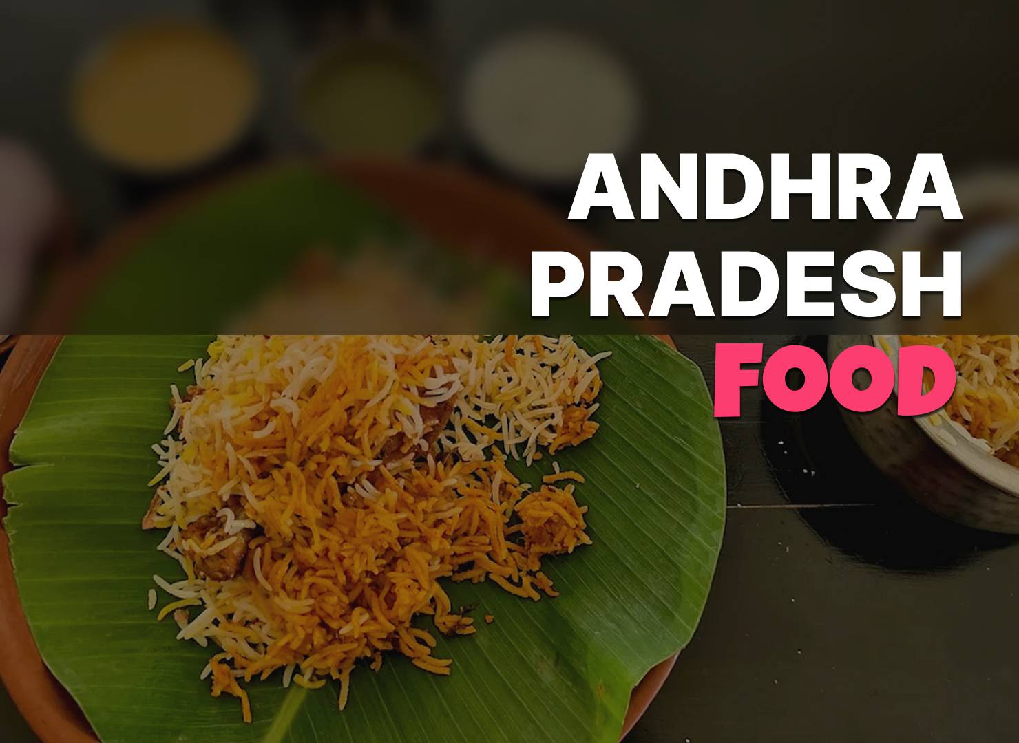
Pulihora, gongura pachadi, pesarattu and Andhra chicken curry, with what separates coastal Andhra cooking from Rayalaseema.
- 01 Sep 25
9 min
Petrampadu is a village in G Konduru tehsil, in the district of Krishna, Andhra Pradesh. The village covers 482 hectares hectares.
| Description | Value |
|---|---|
| State | Andhra Pradesh |
| District | Krishna |
| Tehsil | G Konduru |
| Area (hectares) | 482 hectares |
Source: Census of India 2011, the most recent completed census. Figures have not been revised since collection. Read more on our about the data page.
Petrampadu covers 482 hectares as recorded in the census.
Petrampadu falls under G Konduru tehsil of Krishna district in Andhra Pradesh.
Petrampadu is in G Konduru tehsil of Krishna district. The district and tehsil pages linked from here list the neighbouring villages, which is usually the quickest way to place it on a map.
No. It is the count from the Census of India 2011, the most recent completed census. The population of Petrampadu today is likely to be higher.
Explore the beauty of india and villages of india with our blog.
Pulihora, gongura pachadi, pesarattu and Andhra chicken curry, with what separates coastal Andhra cooking from Rayalaseema.
9 min
NREGA में काम माँगने पर पंद्रह दिन में काम न मिले तो unemployment allowance बनता है। दावा कैसे करें और रसीद क्यों ज़रूरी है।
9 min
रजिस्ट्री के बाद नाम दाखिल ख़ारिज (mutation) से ही चढ़ता है। यह क्या है, आवेदन कहाँ होता है, कितना समय लगता है, अटके तो क्या करें।
9 min
NREGA job card में नाम, उम्र या bank account ग़लत हो तो correction कहाँ और कैसे कराएँ, कितना समय लगता है, payment पर क्या असर।
9 min
Ration card e-KYC क्या है, कहाँ और कैसे होती है, किन सदस्यों की ज़रूरी है, और न कराने पर राशन कब रुक जाता है।
9 min
Ration card में नवजात, नई बहू या छूटे सदस्य का नाम जोड़ने का तरीक़ा, ज़रूरी दस्तावेज़, और आवेदन अटक जाए तो क्या करें।
9 min